P.O Box , Uganda | Tel: | E-mail: [email protected]
Location & Size
Koboko is one of the Districts in the North Western Region and was curved from Arua and started effective operations in August 2005. During the Idi Amini regime, Koboko town was a vibrant headquarters of the then North Nile District comprising of Maracha, Koboko and Aringa counties. After the fall of Idi Amini regime, the District was collapsed back to Arua. During 1980s and 1990s, Koboko was a battle field for various wars. Many physical infrastructures were destroyed in the process. Some of the impacts of the wars can still be seen on the broken wall dotted in the communities.
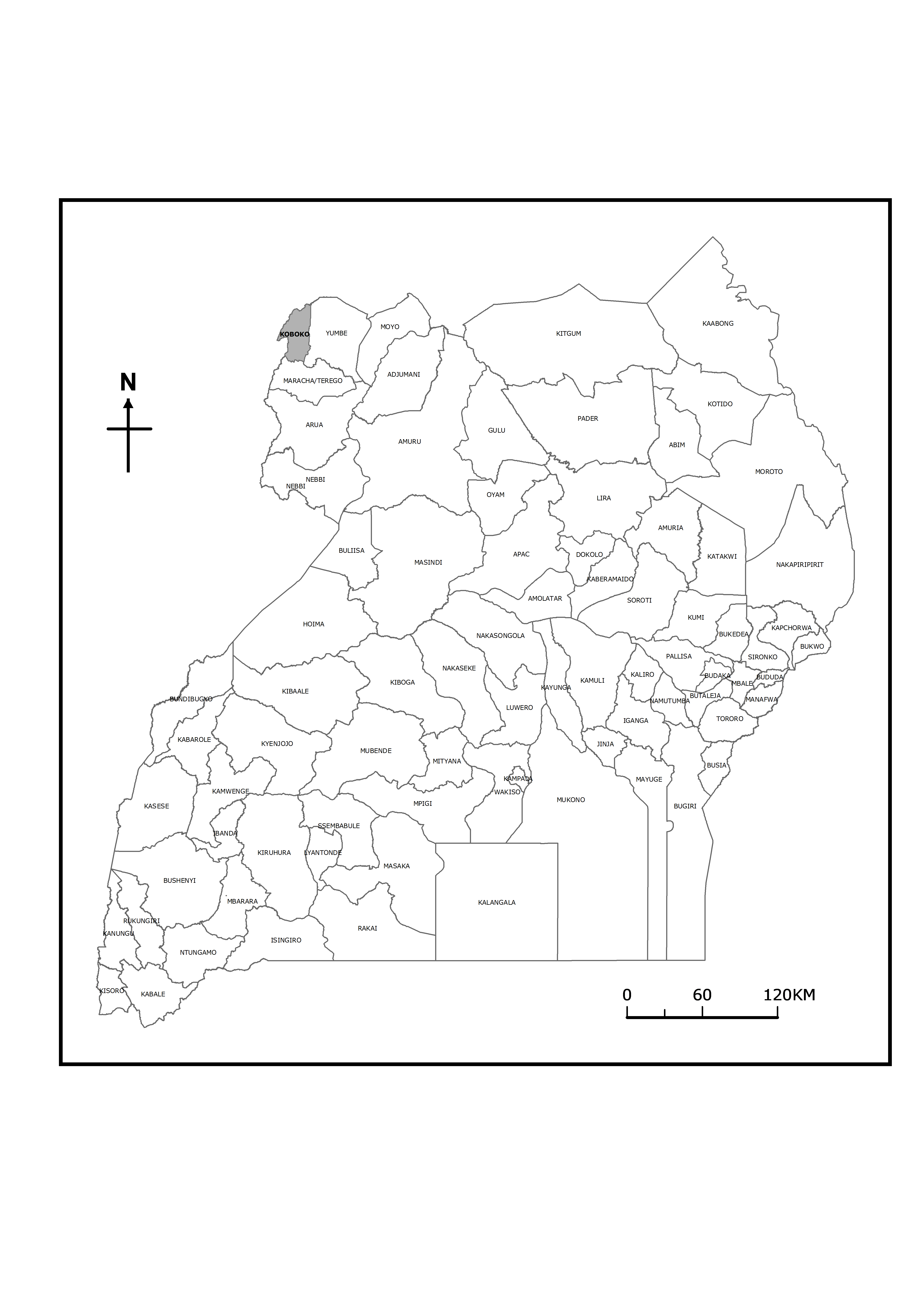
Koboko District is situated on the extreme corner of North Western part of Uganda as shown on the map of Uganda above. It is at the point where three countries i.e. Uganda, Democratic Republic of Congo and South Sudan meet, this point where the three countries meet is called “Salia Musala” It is bordered by the Republic of South Sudan in the North, Yumbe District in the East, Democratic Republic of Congo in the West and Maracha District in the South. Koboko town is the Administrative and commercial headquarters of the District and it is 574 kilometres away from Kampala, Uganda’s capital city, only 3kms from DRC boarder and 16kms from that of South Sudan. The district has a total land area of 820.8 km2. It is 1,285 m (4,216 ft) above sea level.
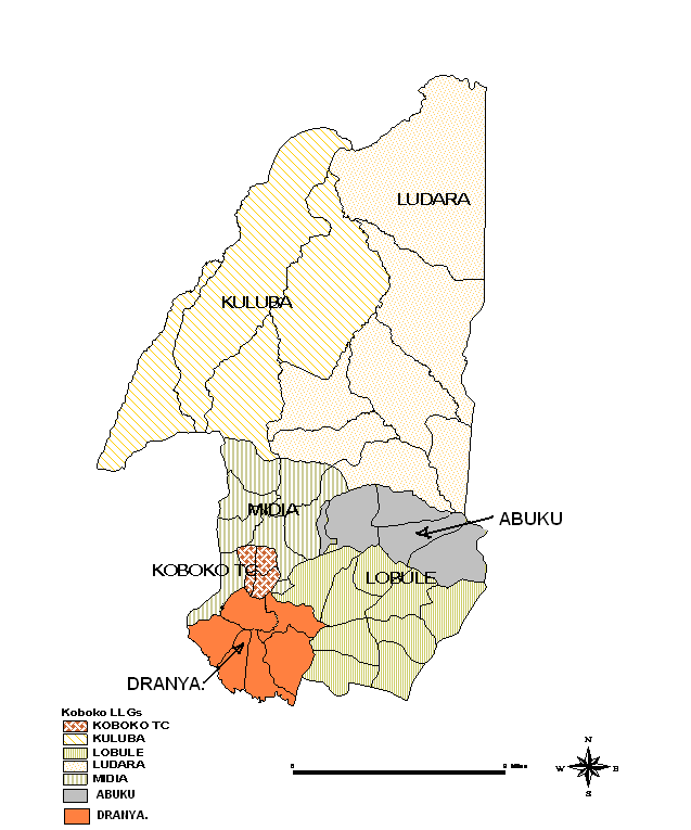
Map of Koboko District showing the sub counties
Map of Uganda showing the location of Koboko District